About
Overview
Mapping, probabilistic analysis (recurrence, spatial impact), geochemical analysis, GIS analysis, numerical modelling.
Economic analysis, cost-benefit analysis of risk treatments, GIS modelling.
Warning systems, operational support plans, communications planning, scenario and training tools, public awareness plans.
Participatory methods, hazard and risk evaluation, prioritising risk treatment strategies, community emergency plans, risk perception, education materials development.
Spatial-temporal change detection, geological mapping, hydrothermal mineral mapping, economic geology, geothermal exploration.
Volcanic sedimentology, tephra chronostratigraphy, eruptive processes.
Petrological and geochemical investigation of historic eruption deposits and geophysical imaging.
Impact assessments and management tools, acute and chronic health hazard impacts, water supply testing, ash testing, fluoride hazard assessment and animal health, cropping.
Undergraduate and postgraduate tertiary teaching in a broad range of emergency management and volcanology areas.
Our research has been effective in transferring indigenous knowledge (and matauranga Māori) to find solutions that empower our indigenous communities.
Staff Members

Professor in Natural Hazards

Professor in Geostatistics

Professor in Volcanology
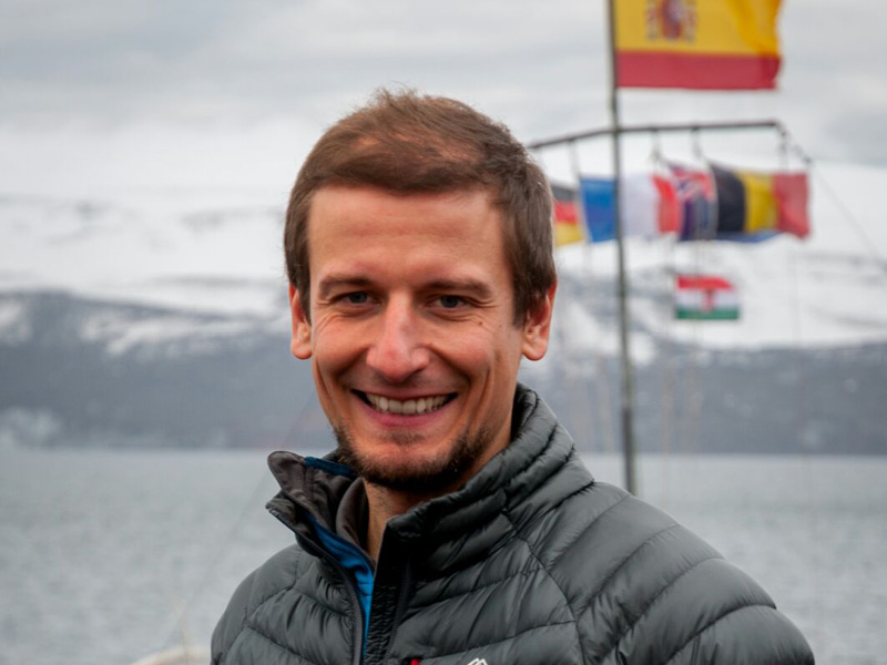
Associate Professor
Senior Lecturer

Senior Research Officer
Research Officer
Senior Tutor
Project Manager/Research Development Advisor
Technician
Post Docs
PostDoctoral Fellow
Junior Research Officer

Junior Research Officer
Postdoctoral Fellow
Postdoctoral Fellow
Affliates
Associate Professor
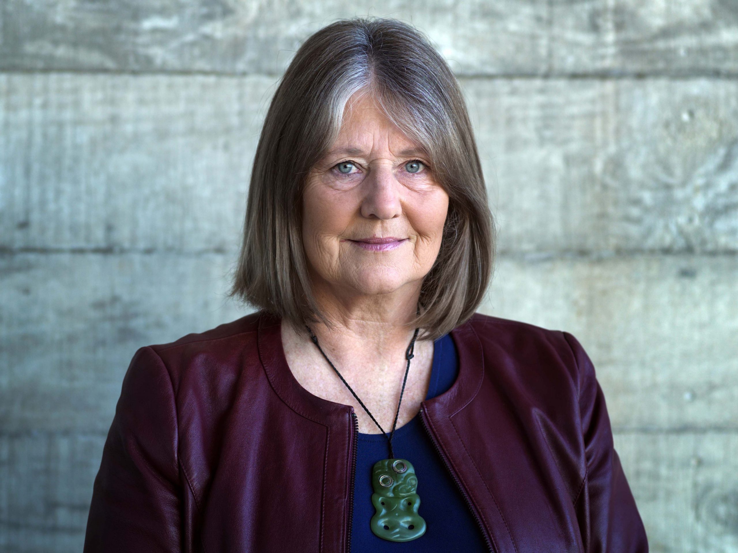
Professor of Disaster Risk Reduction